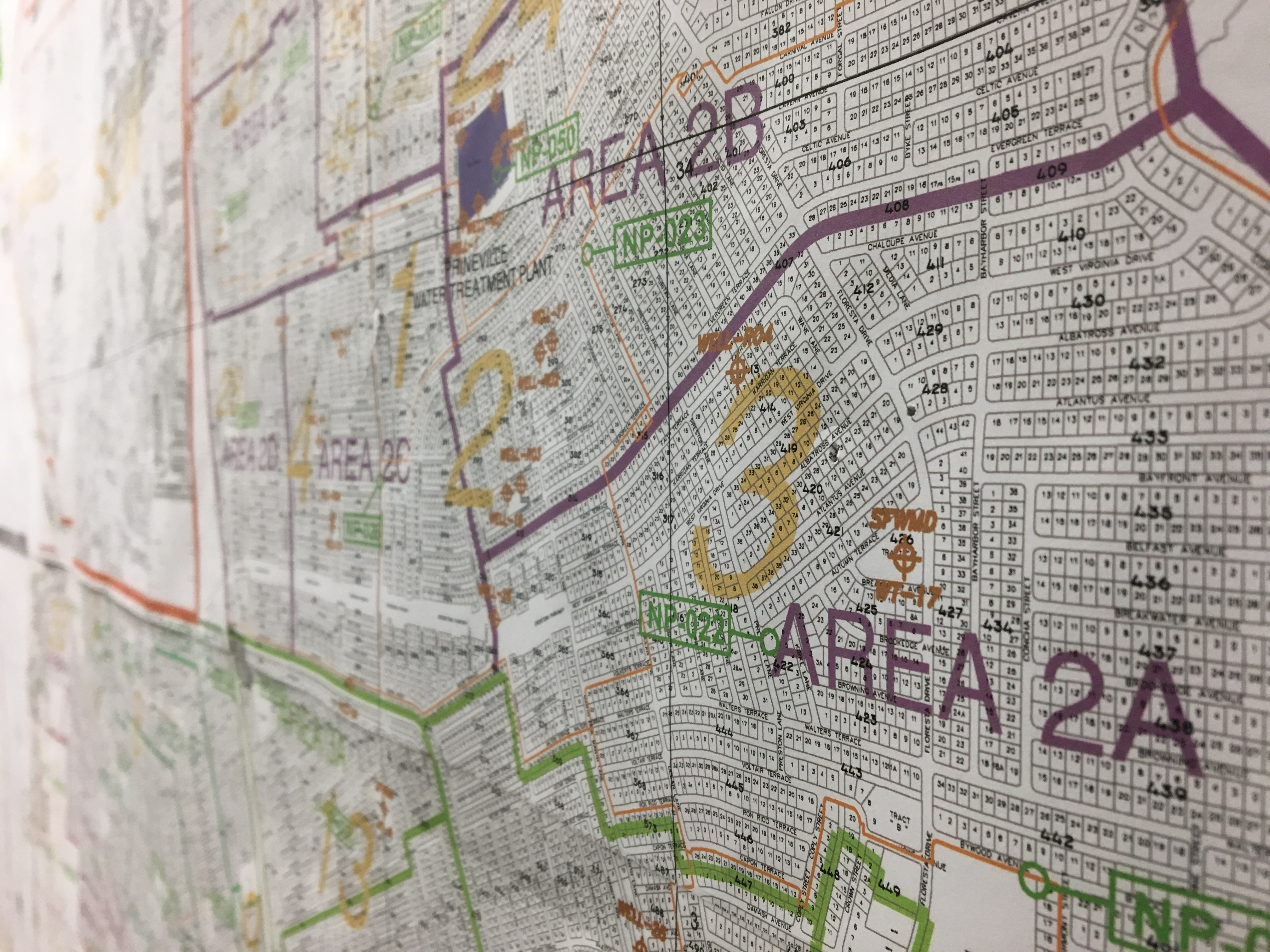
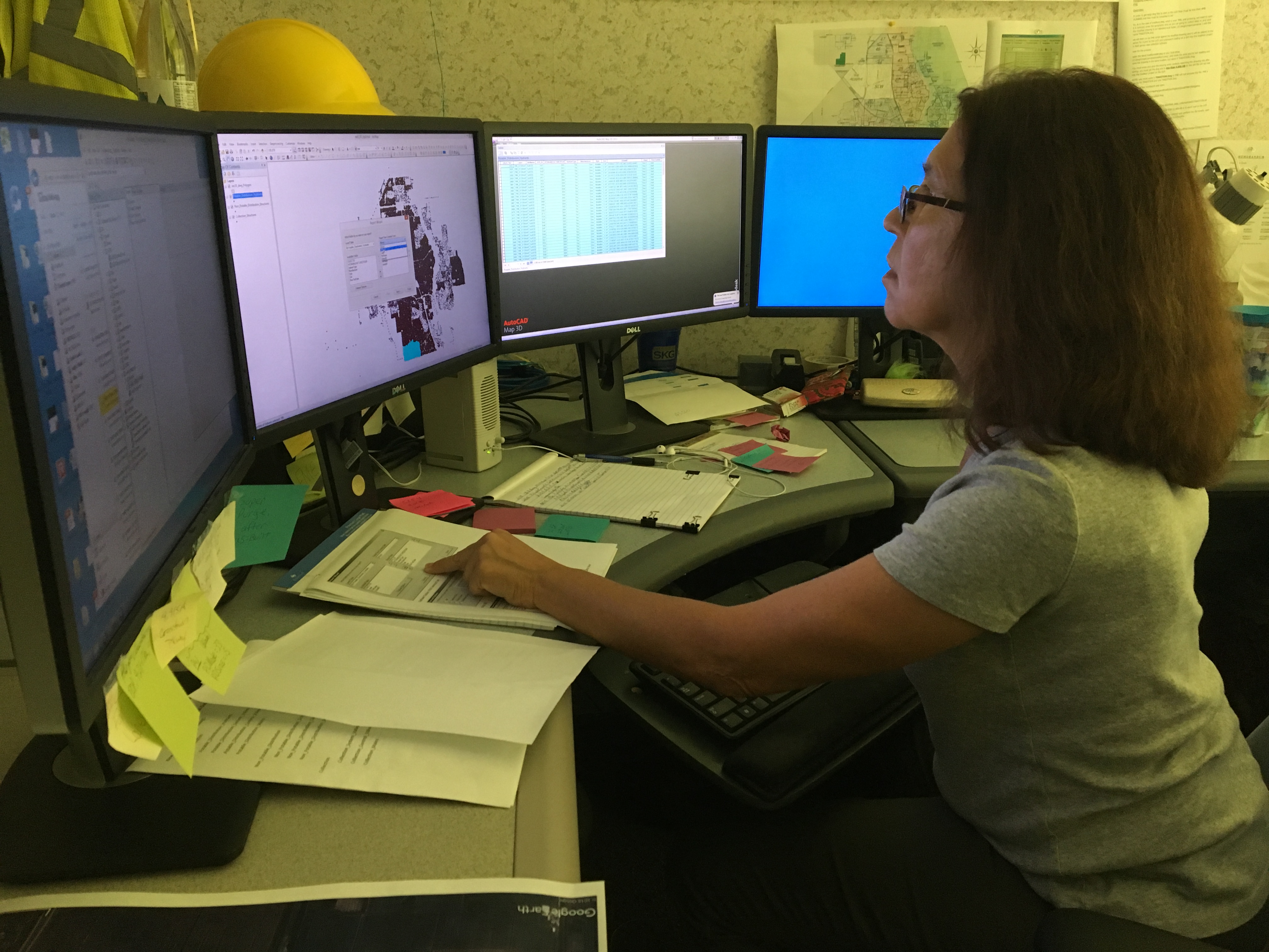
Utility Information Systems/Mapping

Our reference station system allows us to collect GIS asset data to centimeter accuracy.
This division is responsible for:
- Creation, administration, maintenance of digital mapping system
- Responds to information requests related to utility assets from contractors, consultants, and the general public
- Responds to in-house requests for presentation graphics, engineering and survey drafting services, digital and printed maps, and survey and mapping services
- Administration and maintenance of continuously operating reference station system
Resources: